Rallarveien 2002
Four years after our flatland - easygoing - lazy - Denmark bike trip, we talked the kids one more time to come along on an extended bike ride. Rallarveien is one of Scandinavias most famous bike route, offering breathtaking views and nature experiences without extremely exhausting uphill biking.
There are tons of presentations of this bike route on the net. The site BikeNorway does offer detailed information in English. If you search the web for Rallarveien be aware of another Norwegian route with the same name, further north - in Ofoten. The Ofotbanen route is a hiking a route - not a biking route.
The route is in fact the old construction road that was used to facilitate construction of the mountain portion of the railroad from Oslo to Bergen. It crosses one of Norways major mountain plateaus "Hardangervidda" at about 1000 to 1300 m above sea level.
|
|
   |
|
|
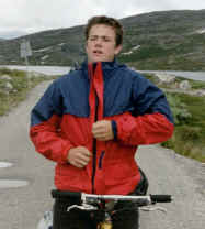
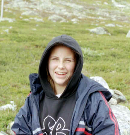
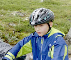
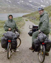
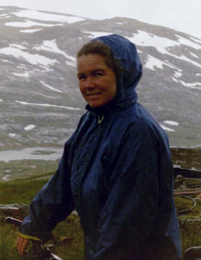
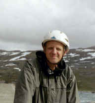
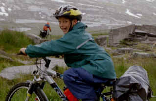
The group of ten are represented above. After hours of discussion, we finally agreeed on bringing the rain gear along. Boy was that a stupid decission!
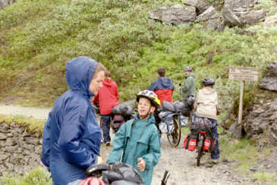
The trip lasted three days, July 2 to 4. 20,000 bike riders follow the 100 year old trail every year, during a few summer weeks. We, however, saw only a handful of other riders along the route. We had to skip the highest portion of the route due to snow. But we were able to train across (about 20 km) and continue biking at the other side of the pass.
Day 1
 |
The meteorologist had
promised lousy weather so we figured that would keep the group members
focused at riding rather than tanning and and enjoying breathtaking
views. No, the bikes did not fall off. Yes, the top speed is
remarkably hampered by the hefty reduction of aerodymanic properties.
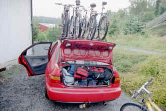
If you ever wondered how we manage to bring along everything needed for a bike trip in the mountains: if it fits in the trunk of a Honda, it will fit on 5 bikes. |
|
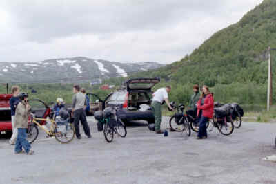
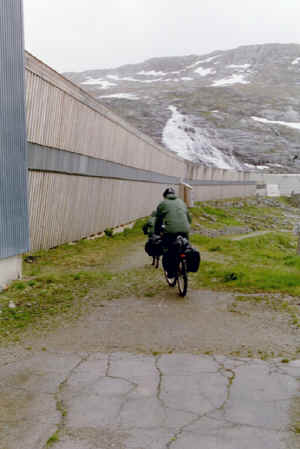
About 300 km from Sandefjord, Haugastøl is the start of the Rallarveg. Following proper feeding and acquisition of map, unloading and mounting onto the bikes lasts for an hour. No rain, no fog. |
 |
 |
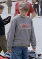
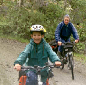
Esben and Martin smile pleasantly at the photographer, not realizing that it was the interesting constellation of high voltage pylons that was the thrilling part of this particular shot. |
|
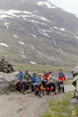
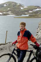
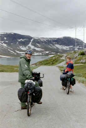
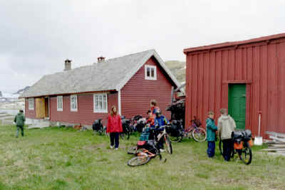
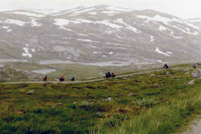
25 km north of Haugastøl we found our shelter for the night at Larsbu, one of several guard houses along the route. Just across the small lake in the background lies Finse. Minor rain showers had made some gear-focused members of the group change clothes about 20 times by now. Dinner service and entertainment at Larsbu left nothing to be desired. |
 |
Day 2
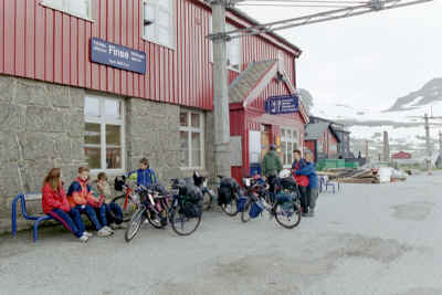 |
Finse Station with promises of more rain and a slight possibility of fog later in the day! Due to snow at the route between Finse and Hallingskeid we trusted the train to take us the 20 or so km. |
|
Leaving Hallingskeid Station, the railroad snow protection architechture does everything to blend in with the background. A thrilling downhill ride was awaiting us from here . . . |
 |
 |
. . . demonstrated by this action packed picture. |
|
|
. . "are definitively going to go slow and dismount if it gets too steep . . ." Robert listening with one eye to moms last demands before climbing down Klevagjelet. |
|
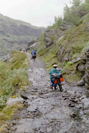
. . after a while, the road becomes more challenging. A too large bike (birthday gift a week prior to the trip) made Robert dismount. But this was a temporary measure soon to be ignored. Provided that mom was not looking, of course . . . |
 |
 |
. . . no, I did not simply flip the former image. The road along Klevagjelet to Myrdal is situated high above and at alternating sides of the ravine. |
|
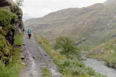
GET OUT OF THE WAY! Steep downhills between Vatnahalsen and Flåm. Moms bike suffering from serious understeering. She disregarded recommendations to change tire pressure and steering geometry and just wanted to push on. This part of the road is not meant for riding, but walking the bike. Why did not somebody tell us that before going downhill? |
 |
|
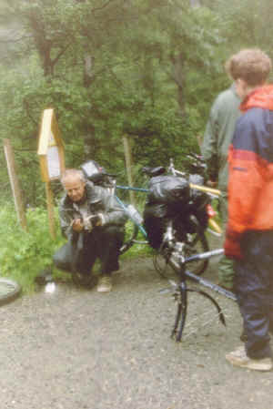
Just like in other races, pushing beyond the limits takes the toll on equipment. Failure to check tire pressure or simply ignoring fist size rocks in the road (that's what it is supposed to be called even though it resembles more a riverbed) caused Martins inner tube to suffer several punctures. Michelin develops puncture free stuff for the WRC cars, why not for bikes? Service crew working hard. If YOU found the 200 mm camera zoom lens that worked its way out of the fatigued rear pocket of my bike pack during the dramatic ride, please drop me a note! |
 |
Finally we reached Flåm, and after a relaxing evening in Flåm and a comfortable night at Heimly Pensionat, we returned to Haugastøl the next day by train. The blue sky was a final proof that the bike trip was about to finish!
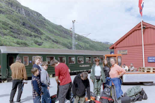
Myrdal Station, where we had to swap train from Flåm Railrod Company to NSB. Thank you for bowing so deep for the cameraman, Torben!